Ground Control Points
Precision when you need it. Highly accurate 3D coordinates for your mapping and planning applications.
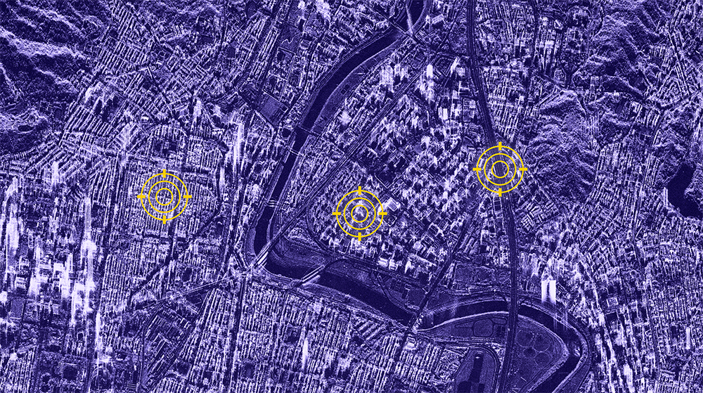
Ground Control Points (GCPs) are geolocations on the Earth's surface that offer precise 3D coordinates with accuracies up to 10cm in both horizontal (2D) and vertical (3D) directions. Using spaceborne radar imagery, these points primarily represent infrastructure features like lightning poles, traffic signs, fences, and other prominent elements on buildings.
ingeniSPACE GCPs can be extracted worldwide, anytime, regardless of weather conditions and daylight.
Accurately ortho-rectifying aerial, optical satellite imagery, and drone data, GCPs enhance or verify the location accuracy of ground features, landmarks, and targets.
Ground Control Points Applications
Mapping
Precisely orthorectify global and urban mapping data. Supporting map scales of 1:2,500 to 1:10,000.
Aeronautics
Build and refresh airport runway databases. Assist with flight navigation, airport design, and infrastructure planning.
Civil Engineering & Infrastructure planning
Survey, track, and measure changes in construction and land development. Ensure compliance with design specifications and achieve accurate placement and alignment of structures, roads, and utilities.
Oil, Gas, and Mining
Identify potential areas for exploration and determine optimal pipeline routes. Monitor land subsidence caused by extraction activities, ensuring infrastructure stability.
Autonomous Driving
Enhance navigation accuracy and safety. Co-registration and validation of HD maps and mobile mapping data for autonomous driving.
Defence & Intelligence
Support of mission planning, targeting, training, and simulation mission planning. Plan routes and navigate diverse operational environments.

Key Features of ingeniSPACE Ground Control Points
Precise orthorectification of optical imagery, elevation models and maps: supporting map scales of 1:2,500–1:10,000
Geolocation accuracies up to 10cm in horizontal (2D) and vertical (3D) directions
Coverage of large areas (1,000km²) per product
Homogeneous geo-information layer: supporting sensor data fusion and complementing in-situ measurements
Essential for accurate ortho-rectification of aerial, optical satellite imagery, and drone data for precise localization of ground features and landmark detection
Globally coverage available today
Features and Benefits
Benefits of ingeniSPACE Ground Control Points
Save time and money where terrestrial mapping is resource-intensive
Minimize project risks as a result of substantial time-saving
Obtain geocoordinates in hard-to-reach regions and avoid in-situ risks
Calibrate and validate all types of map data and increase the location accuracy of optical imagery


