Geospatial intelligence.
Democratized.
ingeniSPACE’s insight-as-a-service drives informed decision-making
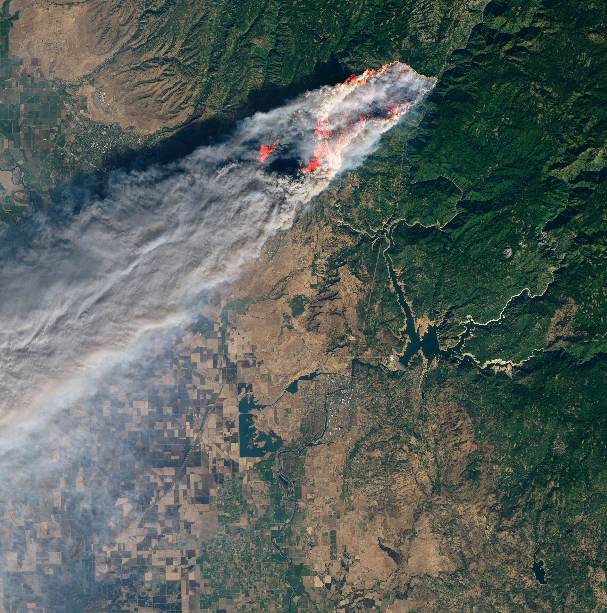
Agile Imaging and Analysis - get answers not pictures
Extend “executive decision time” by streamlining your remote sensing workflow. Can’t tip and cue efficiently? ingeniSPACE makes it easy to acquire archive, task and incorporate geospatial data into your workflow across multiple constellations.
No need for complicated multi-vendor relationships
Single platform/multiple phenomenologies to monitor areas of interest, request imagery across multiple constellation providers, view & process multi-sensor data, analyze and set alerts.
Maintain high custody and revisit rates on your area of interest across multiple sensors
Forget dashboards. Work with our analytics professionals to create insights to meet your mission needs.
Space Domain Awareness - see the signal through the noise
Sending a constellation into orbit? Concerned about “bad neighborhoods?” Concerned about nation states conducting rendezvous proximity operations around your assets? Through our space radar network, maintain custody. Our near real time monitoring capabilities will keep you informed.
Near real-time monitoring of space debris in low-earth and medium-earth orbit
No need to set up complicated multi-vendor relationships
Monitor conjunctions and maintain custody of constellations
Launch and early orbit phase support
Characterize nation state RPO activity and cost-effectively maintain Space Domain awarenss
With today’s volatile geopolitical environment and increasing likelihood of conjunction, maintaining space situational awareness is necessary to ensure the economic viability and mission success of your investments.
Get the insights you need delivered straight to your desk.
ingeniSPACE Insights
We give decision makers the insights and time to consider their next steps.
Working with ingeniSPACE is easy.
Building and integrating a SAR archive to support your business or research initiatives has never been easier. The ingeniSPACE SAR constellation provides high-volume, cost-effective data for governments, non-governmental organizations, researchers, policymakers, and law enforcement. ingeniSPACE sends data in a wide range of formats to your desktop and can be integrated easily into your existing business workflow.
1) Unparalleled revisit rates at very high resolutions.
2) Subscription-based analytical services.
3) Advisory support for novel problems or custom analytics.
4) Geospatial analytical training for your team