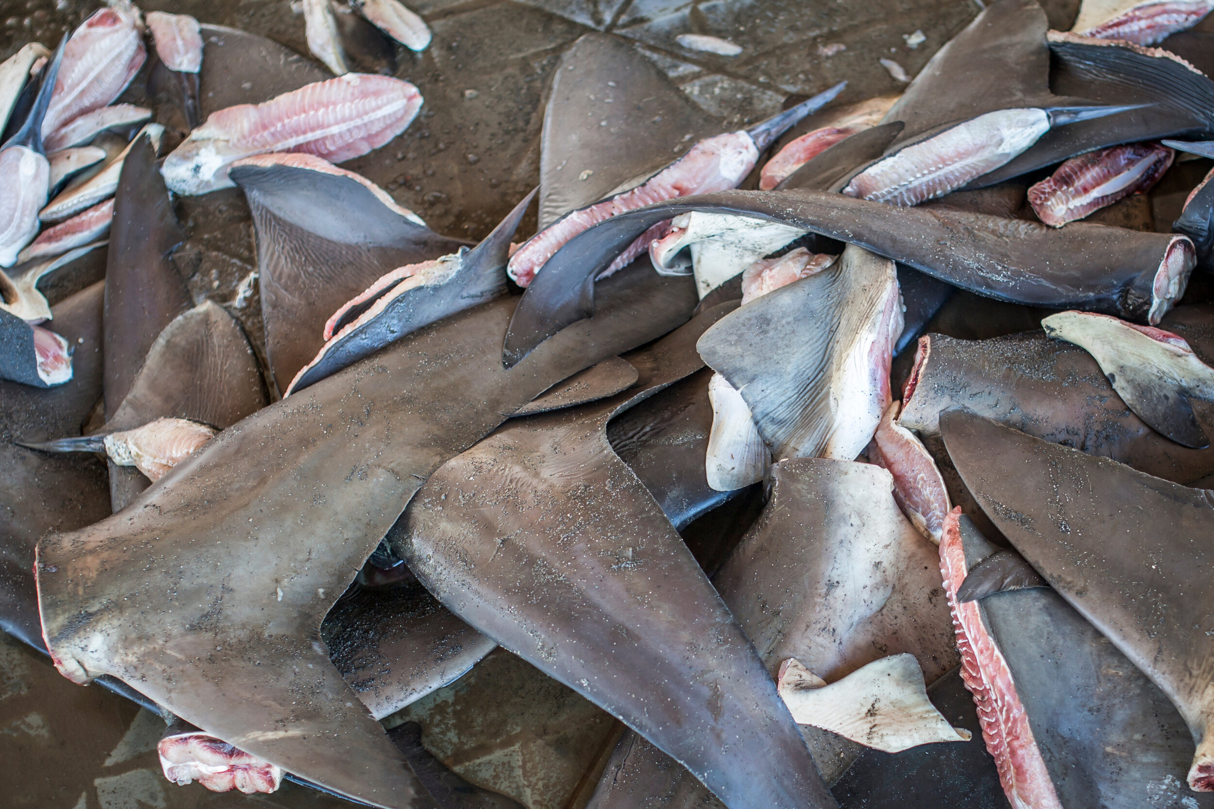
Illegal fishing is a severe problem. The sheer effort to monitor exclusive economic zones is daunting for any nation. Identifying longline and reefer ships illegally working together is difficult beyond coastal waters.
Maritime authorities and policymakers don’t need pictures from space. They want attributable data to identify violators. They want to understand the origin of the ships, how they are related, and their history together over time.
ingeniSPACE insight-as-a-service abstracts the effort of data integration, machine learning, and data fusion into a single platform to enable transparency and the pursuit of violators.
Illegal, Unreported, and Unregulated Fishing
